Historic Evansville
The definitive site for all things historic in Evansville
Jacobsville
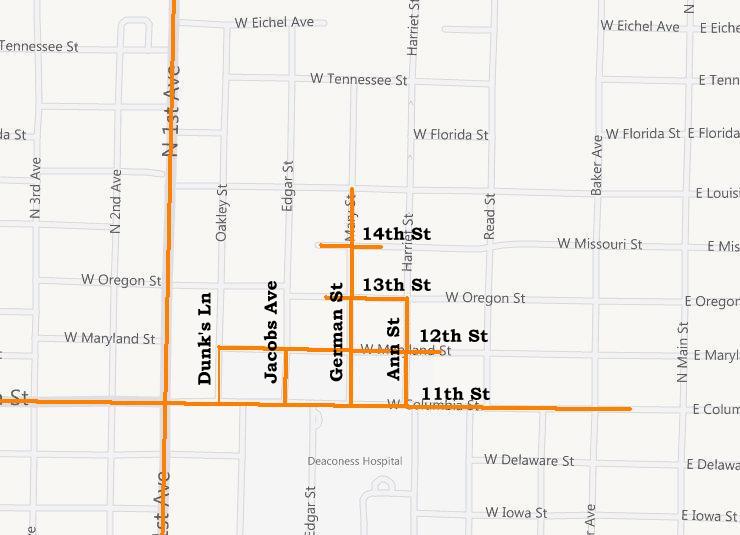
Approximate map of Jacobsville
When Evansville adopted a numbering system in 1873, most of the streets were renamed to align with the city names on the opposite side of the road. At the same time, Lamasco's numbered streets running east-west were given the state names we know today. The following table summarizes the name changes and explains the jogs at Columbia St.
| ||||||||||
| * renamed later in 1907 |
As the north side continued to grow, Jacobsville became known as a blue collar community which expanded from Columbia St north to Morgan Ave between First Ave and Main St.
Over the years, Jacobsville has become synonymous with the entire North Main neighborhood, but the original area--sometimes called "Old Jacobsville"--is principally north of Columbia St. Today Jacobsville Park at Maryland and Baker and the Jacobsville Aparments on the old Stockyard property bear the name of the old community.
View the map of the North Main district including Jacobsville
Research Notes
+ Show research notes